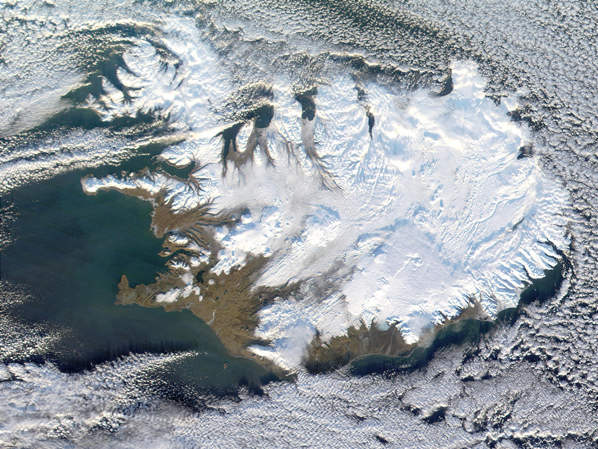
Caption: A satellite image of Iceland covered mostly by snow and ice.
Mid-Atlantic Ridge goes right over Iceland and there are present lots of volcanoes and glaciers. But at least the untrained human eye CANNOT detect these features as such.
Note Iceland does NOT have an ice sheet. Only Antarctica and Greenland do in the Holocene (∼ 11650 BP--present). We are seeing glaciers, but also just mostly continuous snow and ice. For Iceland's largest glaciers, see Wikipedia: List of glaciers in Iceland: Largest glaciers by surface area.
Credit/Permission: NASA,
before or circa 2005 /
Public domain.
Download site: NASA: Visible Earth
Alas, a dead link.
Image link: Itself.
Local file: local link: iceland_satellite_image.html.
File: Earth file:
iceland_satellite_image.html.