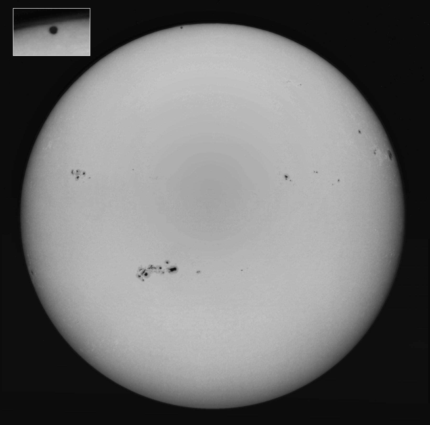
 Mercury transiting the Sun in 1999.
Johannes Kepler missed the chance of discovering sunspots pretelescopically because he misinterpreted a sunspot for Mercury in transit (Ca-167).
Credit: Bill Livingston, NSO/AURA/NSF
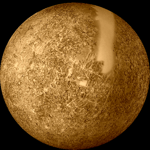 Mercury false-color mosaic from Mariner 10.
This mosaic shows about all of Mercury that Mariner 10 was able to image. The other side of Mercury is unknown as is that cowlick that comes over the limb.
Credit: NASA; download site ????.
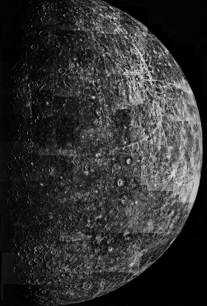 Mercury from a Mariner 10 mosaic from 1974mar30 on its 1st flyby.
The north pole is near the top and the equator is about 2/3 of the way down.
The resolution is about 2 km.
The large MULTI-RINGED CALORIS BASIN is half visible at the terminator on the left. It is just above the middle of the image.
In the upper right is the obvious rayed Crater Degas which has a diameter of about 45 km. The rays indicate that Degas is comparatively young. By the time NASA got to Mercury they were down to 19th century artists.
Mercury does have lava plains similar to the lunar maria, but they arn't so different in color from the other regions and so are hard to pick out.
Credit: NASA.
Some not downloadable??? maps of Mercury are a ESO.
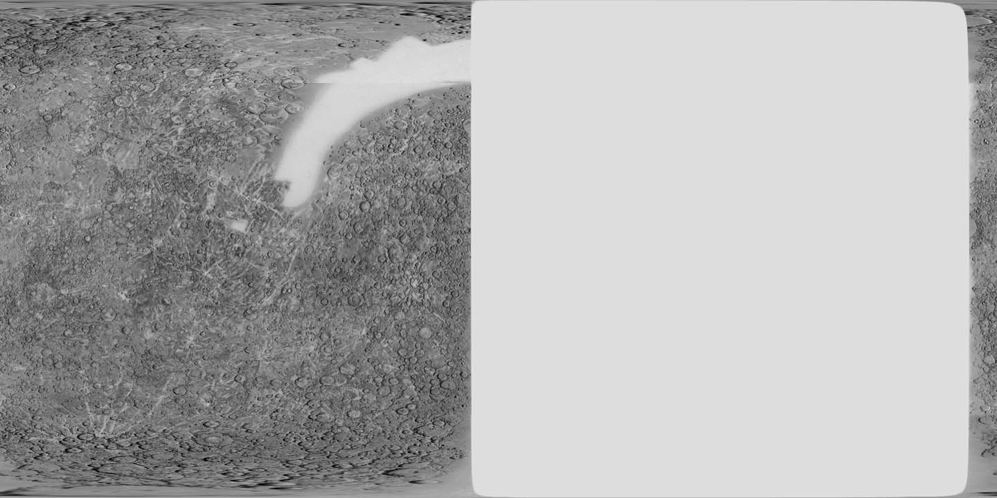 A Mercator mosaic of mercury based on Mariner 10 images from its three
1974-1975 flybys.
Only about 50 % of Mercury was images which accounts for the blank regions. Only 10 to 180 degrees west longitude is available, but I don't know how the prime meridian is defined or why there is strip on the right.
Credit: NASA and USGS which put the mosaic together; download site Views of the Solar System by Calvin J. Hamilton.
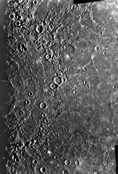 The Caloris Basin from a Mariner 10 mosaic from 1975mar16 on its 3rd and
final flyby.
Unfortunately, the terminator bisects the basin. However, the long shadows do tend to emphasize contrasts in altitude.
The outermost rings are about 1300 km in diameter and the highest features are about 3 km.
The Caloris Basin is vast multi-ring impact basin like the Orientale Basin on the Moon. (HI-141,143).
The largest impactors created weak spots in the lithosphere of bodies like Mercury and the Moon through which lava flowed up to create the maria: i.e., the lava plains. The Caloris Basin has lava filling too, but not as dark for some reason as the lunar maria.
The rings may have been produced by waves that froze in place (SRJ-159).
The impact probably shook the whole planet substantially and probably created converging shock waves at the antipodal point where a jumbled WEIRD TERRAIN has been noticed (HI-454).
-
[WEIRD TERRAIN has become the accepted name for
this jumbled landscape it seems.]
Credit: NASA.
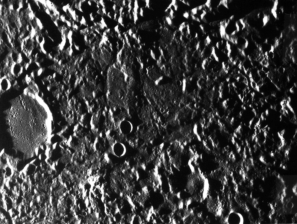 Mariner 10 image of the weird terrain antipodal to the Caloris Basin.
In the image north is up. The large, flat-floored crater at the left has a diameter of about 35 km.
To experts who have studied a lot of Mercurian landscape this region is WEIRD TERRAIN.
To them it looks jumbled and chaotic.
The region is antipodal to the Caloris Basin.
It is thought that seismic waves generated by the Caloris Basin impactor were focussed at the antipodal point and created the WEIRD TERRAIN.
Credit: NASA: Mariner 10, Atlas of Mercury, Fig. 11-20.
 Mariner 10 image of a lobate scarp.
A common geological feature of Mercury, not seen on the Moon, are lobate scarps (or faults).
These are giant curved cliffs that rise as high as 3 km and can stretch over hundreds of kilometers.
They are believed to have formed when Mercury, already with a rigid lithosphere, cooled and became contractable internally.
The lithosphere under its own gravity collapsed inward slowly compressing the inside of Mercury, but crinkling or faulting on the outside to make the scarps.
It is thought that Mercury contracted by a few kilometers overall (Se-460).
Mercury's lithosphere when it was still quite on hot on the inside was probably rather thin compared to the Moon.
The Moon's thicker and, perhaps stronger, lithosphere didn't compress and fault when the inside cooled.
Credit: NASA; download site Views of the Solar System by Calvin J. Hamilton.